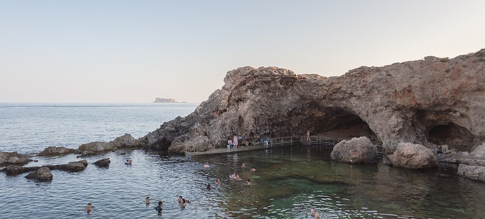
Malta · Scuba diving
Black John Reef
An offshore reef near Għar Lapsi with rock features and deeper boulders.
View place & access ↗Malta / Dingli coast
A boat-access cave below the Dingli coast, with distinctive rock formations.
Getting there & access ↓Source-reported site depths, not a recommended dive profile. “+” is open-ended. A qualification label does not qualify a diver for cave or wreck penetration.
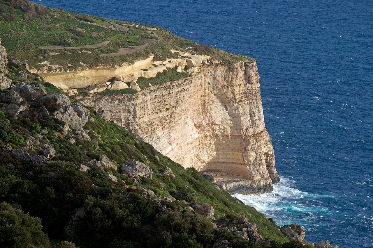
Stoker Cave’s reference describes an entrance near 19 m, a sandy floor around 30 m, and formations in the chamber. Fresh water in its upper section can change visibility. Arrange a specific overhead plan with the centre; the 20 m average and 30 m maximum are site facts, not a route to follow.
Features and marine-life sightings depend on the agreed route and conditions.
THE WAY IN
The site reference lists boat-only access. The map point identifies the dive site offshore, not a place to board. Confirm the departure harbour, transfer and pickup with your dive centre.
Map reference: 35.8495° N, 14.3790° E · Nearby. The underwater point is separate from the boat boarding location.
Check the current regional wind and sea outlook, then agree the entry, exit, route and required experience with a local operator. Regional forecasts do not measure cave surge, currents, visibility, water quality or closures.
Cave and overhead access requires an on-site assessment and appropriate training and equipment.
Open this place in the live explorer ↗Place / operator reference ↗ · Researched 2026-11-05
Malta · Scuba diving
An offshore reef near Għar Lapsi with rock features and deeper boulders.
View place & access ↗Malta · Scuba diving
Car wrecks, boulders and cave formations below Malta’s southwestern cliffs.
View place & access ↗Malta · Scuba diving
A finger-shaped reef with a small, colourful wall at Għar Lapsi.
View place & access ↗