Malta · Scuba diving
West Reef & Caves
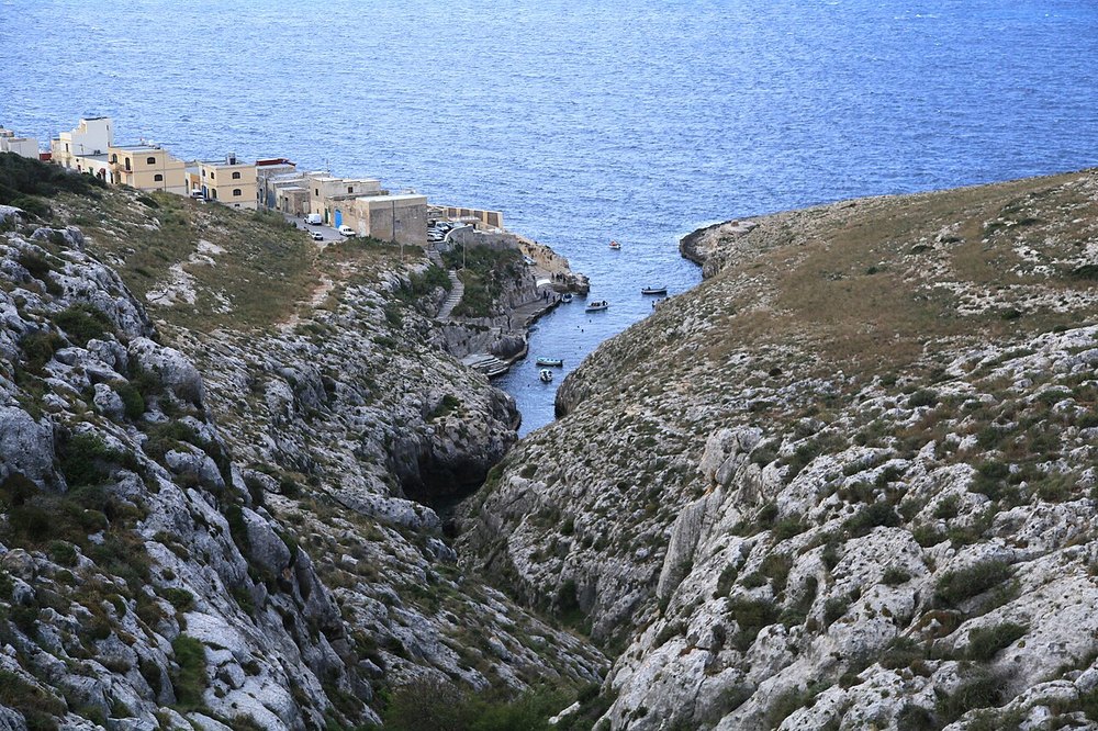
Żurrieq’s western reef combines ledges, boulders, gullies and caves.
View place & access ↗Malta / Wied iż-Żurrieq
A former oil tanker, scuttled off Wied iż-Żurrieq in 1998.
Getting there & access ↓Source-reported site depths, not a recommended dive profile. “+” is open-ended. A qualification label does not qualify a diver for cave or wreck penetration.
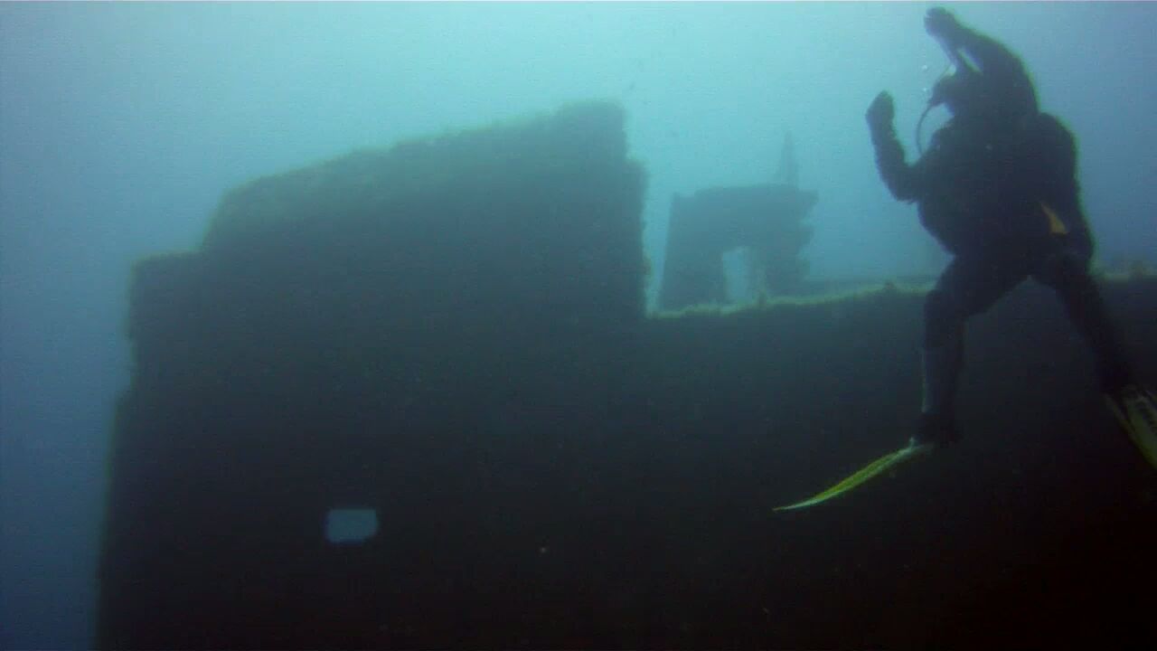
The wreck’s scale makes it a different outing from the nearby reefs. Discuss which external sections fit the agreed dive profile; an entry here does not include wreck penetration.
Features and marine-life sightings depend on the agreed route and conditions.
THE WAY IN
Stairs or ramp, then quay; ladders may be absent in winter.
A named arrival area, not an exact water entry. Confirm the actual meeting point locally.
Map reference: 35.8188° N, 14.4492° E · Nearby.
Check the current regional wind and sea outlook, then agree the entry, exit, route and required experience with a local operator. Regional forecasts do not measure cave surge, currents, visibility, water quality or closures.
Open this place in the live explorer ↗Place / operator reference ↗ · Researched 2026-11-04
Malta · Scuba diving
Żurrieq’s western reef combines ledges, boulders, gullies and caves.
View place & access ↗Malta · Scuba diving
A wall-and-reef alternative east of Wied iż-Żurrieq’s inlet.
View place & access ↗Malta · Scuba diving
A shallow rocky inlet at the start of Żurrieq’s shore-diving routes.
View place & access ↗