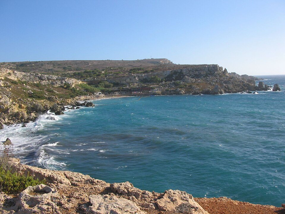
Malta · Scuba diving
Ċirkewwa Arch
An underwater arch formed by the collapse of a cavern roof.
View place & access ↗Malta / Ċirkewwa
A former Grand Harbour tugboat, scuttled at Ċirkewwa in 1992.
Getting there & access ↓Source-reported site depths, not a recommended dive profile. “+” is open-ended. A qualification label does not qualify a diver for cave or wreck penetration.
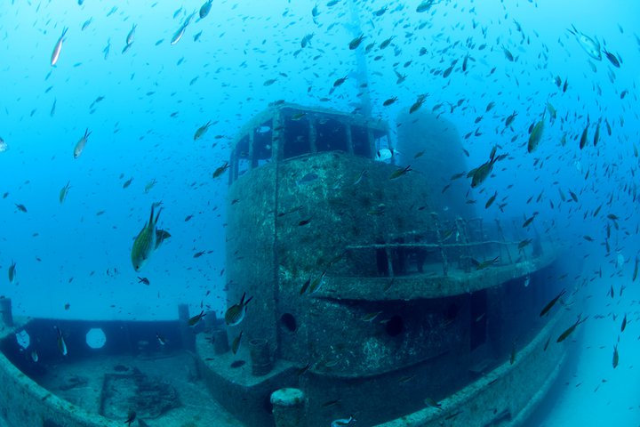
Rozi belongs to the same wider shore-diving area as the Arch and P29. Choose an individual wreck profile rather than assuming all landmarks fit one dive.
Features and marine-life sightings depend on the agreed route and conditions.
THE WAY IN
Steps and railings; the chosen water entry varies by site.
A named arrival area, not an exact water entry. Confirm the actual meeting point locally.
Map reference: 35.9898° N, 14.3269° E · Nearby.
Check the current regional wind and sea outlook, then agree the entry, exit, route and required experience with a local operator. Regional forecasts do not measure cave surge, currents, visibility, water quality or closures.
Open this place in the live explorer ↗Place / operator reference ↗ · Researched 2026-11-04
Malta · Scuba diving
An underwater arch formed by the collapse of a cavern roof.
View place & access ↗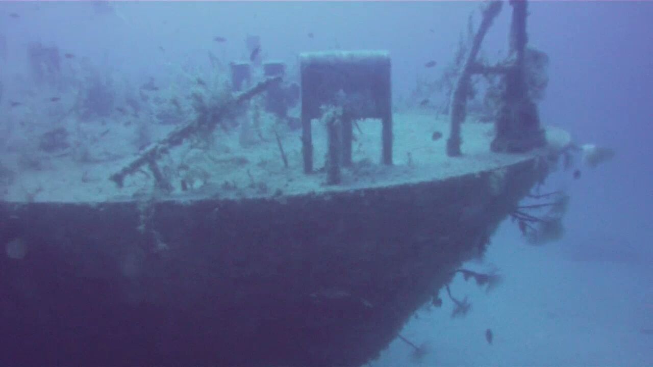
Malta · Scuba diving
A former Maltese patrol boat, purpose-sunk at Ċirkewwa in 2007.
View place & access ↗Malta · Scuba diving
A shallow rocky plateau within Ċirkewwa’s shore-diving area.
View place & access ↗