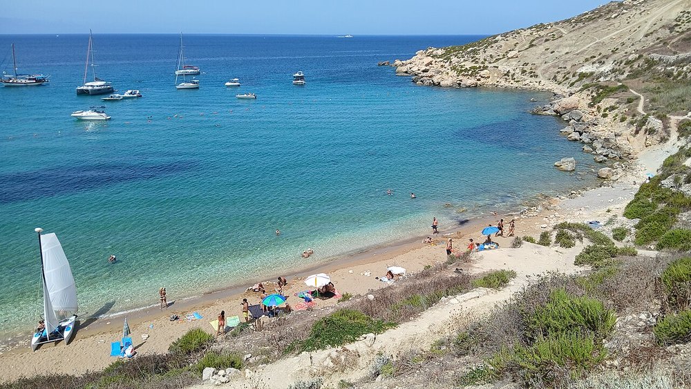
Malta · Kayaking
Mistra to Selmun & Imġiebaħ coast
A mainland alternative following the Mistra–Selmun coastline.
View place & access ↗Malta / Mistra & St Paul’s Islands
Extend from Mistra towards the rocky coast of St Paul’s Islands.
Getting there & access ↓This longer alternative includes open water. The guide can choose a Selmun coastal route instead.
Features and marine-life sightings depend on the agreed route and conditions.
An exposed crossing alternative to the short Mistra bay paddle. The guide may choose Selmun instead; cave visits are optional.
Route lines and starting points in the explorer are editorial illustrations, not surveyed tracks.
THE WAY IN
Bay launch to confirm; the cited route post is historical.
A named arrival area, not an exact water entry. Confirm the actual meeting point locally.
Map reference: 35.9585° N, 14.3943° E · Approximate area.
Check the current regional wind and sea outlook, then agree the entry, exit, route and required experience with a local operator. Regional forecasts do not measure cave surge, currents, visibility, water quality or closures.
Cave and overhead access requires an on-site assessment and appropriate training and equipment.
Open this place in the live explorer ↗Place / operator reference ↗ · Researched 2026-11-04
Malta · Kayaking
A mainland alternative following the Mistra–Selmun coastline.
View place & access ↗Malta · Kayaking
A shorter coastal option around Mistra’s bay.
View place & access ↗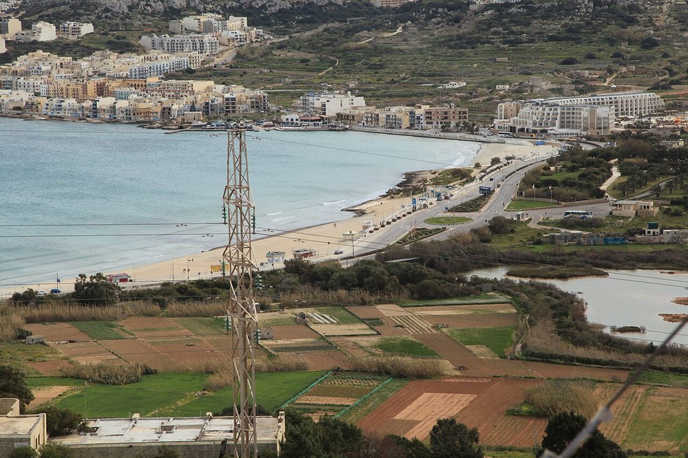
Malta · Kayaking
Follow Mellieħa Bay’s northern shoreline towards Slugs Bay.
View place & access ↗