MALTA. GOZO. COMINO.
Good days
start with
saltwater.
Dive a wreck. Paddle a cave. Find your own slice of blue.
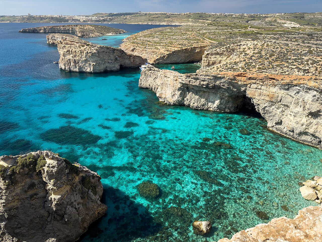 THE MALTESE ISLANDS, FROM A DIFFERENT ANGLE.Find your blue. ↗
LIVE FORECAST · MALTA TIME
Today, on the water.
Loading the latest wind and sea forecast…
Current conditions are modelled estimates, not a live buoy or beach observation.
THE FORECAST DOES THE SHORTLISTING
A few places to start.
Comparing current conditions and the next three daylight hours across 13 coastal zones. Picks follow your catalogue filters. “Better outlook” is a relative forecast comparison; a local guide must confirm entry, exit and route conditions.
◉ Dive sites
Waiting for current wind and wave data.
↝ Kayak & cave routes
Waiting for current wind and wave data.
How today’s outlooks are calculated +
Wind and marine forecasts come from Open-Meteo, using DWD ICON and DWD EWAM models. Values describe regional grid cells, not individual cave entrances. The site checks for new data every 15 minutes while visible and withholds rankings when data is missing, over 30 minutes old since retrieval, or over 90 minutes past its current model valid time.
Outlooks compare peak wind, gusts, significant wave height, incoming wave and swell directions, and wave period through the next three daylight hours. We use approximate coastal bearings; exposed route segments, offshore winds, channel crossings, difficult entries and specialist dives add caution. No wave heights are reduced to simulate shelter. Cave and overhead options always need a guide check, even in quiet forecasts.
Editorial poor-outlook thresholds: diving at wind ≥18 kn, gusts ≥25 kn or significant waves ≥1.5 m; kayaking/snorkelling at ≥12 kn, ≥18 kn or ≥0.8 m. Incoming waves at cave coasts trigger poor outlook from 0.8 m for dives or 0.45 m for kayak routes. Offshore-wind and thunderstorm checks can also block a pick. These are conservative comparison rules, not validated operating limits or safety guarantees. “Guide check” can apply well below these values.
Wave height is a significant-wave estimate; individual waves can be larger. Currents, visibility, water quality, boat traffic, local closures, cave surge and your ability are not measured here. Check Malta’s official weather service and your operator before departure. Route length is not used to promise a time window.
Wind data documentation · Marine data and model attribution · RNLI kayaking guidance
| Coastal zone | Wind | Gust | Waves | Valid |
|---|
THE ISLANDS ARE YOUR PLAYGROUND
Find your next blue.
Wrecks, reefs, secret coves and sea caves.
One place to find your next day on the water.
Dashed lines = illustrative kayak routes. Not for navigation.
Dive pins use the linked reference’s coordinates; some indicate nearby locations. Kayak points and lines are approximate editorial guides. Zoom, pan or select a place to explore. Cave access, routes and difficulty depend on conditions and training.
WIED IL-MIELAĦ, GOZOA DIFFERENT PERSPECTIVE
Take the scenic
route. By kayak.
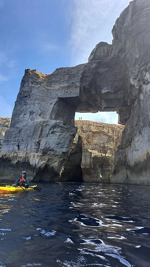
Trade the busy shore for limestone arches, quiet coves and the echo of a sea cave. Discover guided kayak routes around Gozo and Comino, with time to stop and take it all in.
SMALL ISLANDS. BIG POSSIBILITIES.
Three islands. Your kind of escape.
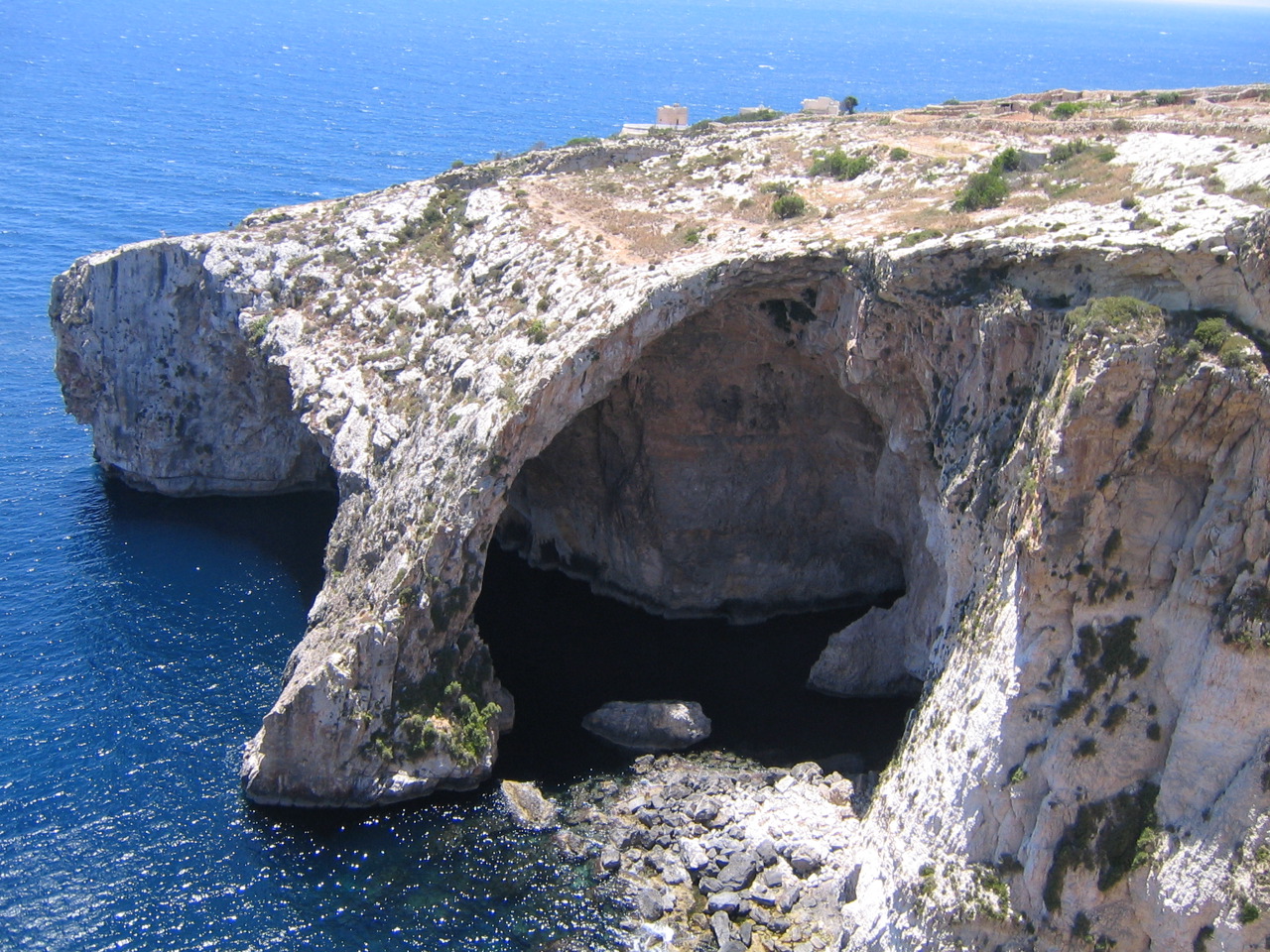
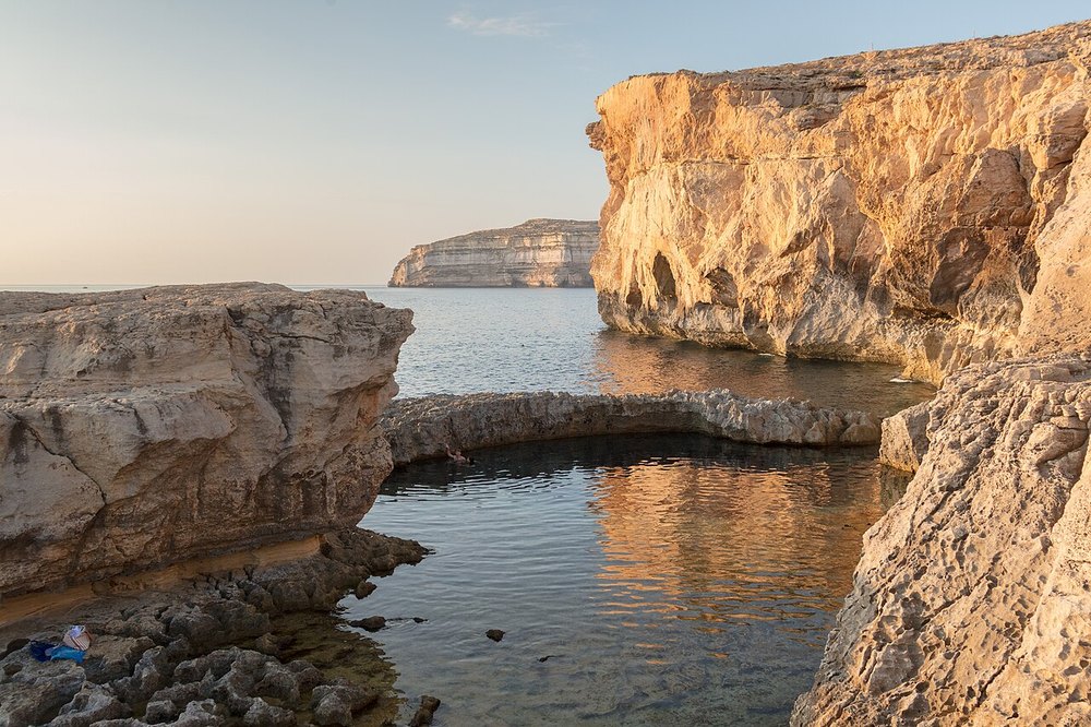
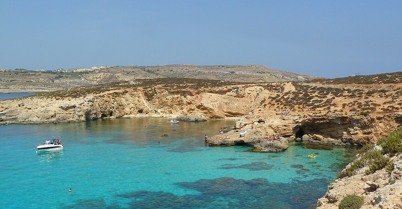
Find your corner of the archipelago.
A FEW THINGS BEFORE YOU GO
A good sea day
starts on land.
Forecasts help you compare places.
Make the final plan with a local guide.
01 Let the sea choose the day +
Check the current marine forecast, wind and swell before heading out. A sheltered-looking bay is not a guarantee of safe entry or exit. Ask a local operator to assess the route on the day.
Check the Malta weather service ↗02 Match the dive to your training +
Site depths and profiles vary by route. Discuss your certification, recent experience and limits with a licensed dive centre. Wreck penetration and overhead environments require specific training and equipment.
Find a dive centre ↗03 Paddle with a plan +
Wear a buoyancy aid, take drinking water and sun protection, and tell someone your plan. Channel crossings and cave entrances need local assessment. Choose a guided tour if you are unfamiliar with the coast.
04 Leave only ripples +
Keep clear of seagrass, leave shells and marine life where they belong, and take your rubbish home. Keep space for boats, other water users and the people who call these islands home.
YOU BRING THE CURIOSITY. WE’LL BRING THE BLUE.
Good plans.
Better sea days.
Find your next adventure ↗PLAN YOUR NEXT SEA DAY
Explore the place guides.
Photos, highlights and practical access notes for Malta, Gozo and Comino.